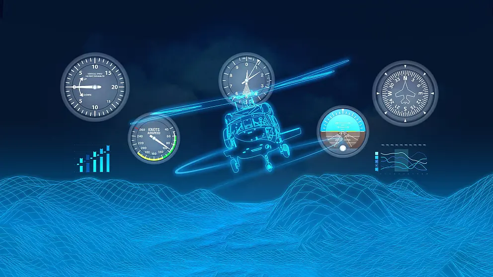
Avionic Modernisation of Gendarmerie Helicopters
The Gendarmerie Helicopter Modernisation project covers the development of the Digital Moving Map software and Mission Planning Ground Station System (MPGS) to be used to meet the mission planning and pilot’s situational awareness needs of the Sikorsky S70 platform within the Gendarmerie Air Command.
As part of the project, Digital Moving Map System (DMAP), Mission Planning Ground Station (MPGS) and Tactical Display Screen (TDS) are delivered to ASELSAN. As all of the hardware and software deliveries within the scope of the project have been completed our Digital Moving Map System is in active use in 22 helicopters.
Our systems in the field have been fully harmonised with the Vertical Obstacle Database maintained by the Directorate General of Mapping, thus gaining the ability to process current data.