TANKOM
Tactical Field Command Control Information System
Fast customization for various platforms
Tactical Field Command Control Information System TANKOM is an effective Tactical Level Command and Control Information System that provides uninterrupted command and control functions based on an authorization from a single tank, vehicle, and soldier to the battalion task force and the highest level of headquarters in accordance with armored combat operation.
TANKOM plays an important role in operating decision support mechanisms by increasing situational awareness through continuous, safe, and reliable data communication.
TANKOM enables fast customization for various platforms with new or existing capabilities and ensures interoperability capabilities by enabling open - architecture solutions.
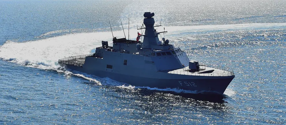
TANKOM has been developed by our company for various land platforms including ALTAY; Turkish Main Battle Tank, Leopard - 1T, advanced armored personnel carriers, weapon carrier vehicles and command posts.
![]()
Main Capabilities
- Mission/operation and route planning
- Mission execution, control and monitoring
- Pre-mission briefing, post-mission analysis
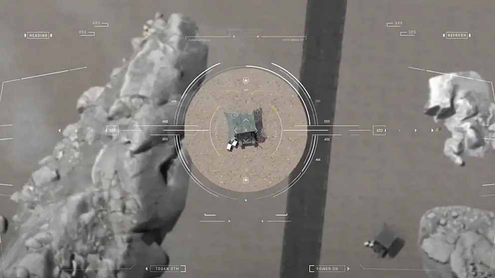
- Situational awareness
- Friend / hostile / unknown / neutral units and targets tracking
- Creating tactical images on digital maps with obstacles, tactical information, operational status information
- Flexible Unit Task Organization
- VMF messages
- Range card/fire plan
- Reporting and analysis
- Authorisation/guidance
- Symbols and tactical graphics
- Enhanced human-machine interface
- Designed for in – vehicle usage
Other Areas of Activities
While prioritizing Türkiye’s defense industry requirements, we diversify our technology-based operations to address the needs of both the public and private sectors, delivering innovative solutions across a broad spectrum.