Engineering The Next
We combine our engineering expertise with a forward-looking vision to strengthen Türkiye’s security and technological independence. On our journey spanning defence and advanced technologies, we deliver projects that transcend borders and bring our advanced engineering capabilities to the global stage. Driven by innovation, we unite security with technology. We continue to make our mark through technology for a safer future for Türkiye and the world. .
Areas of
Expertise
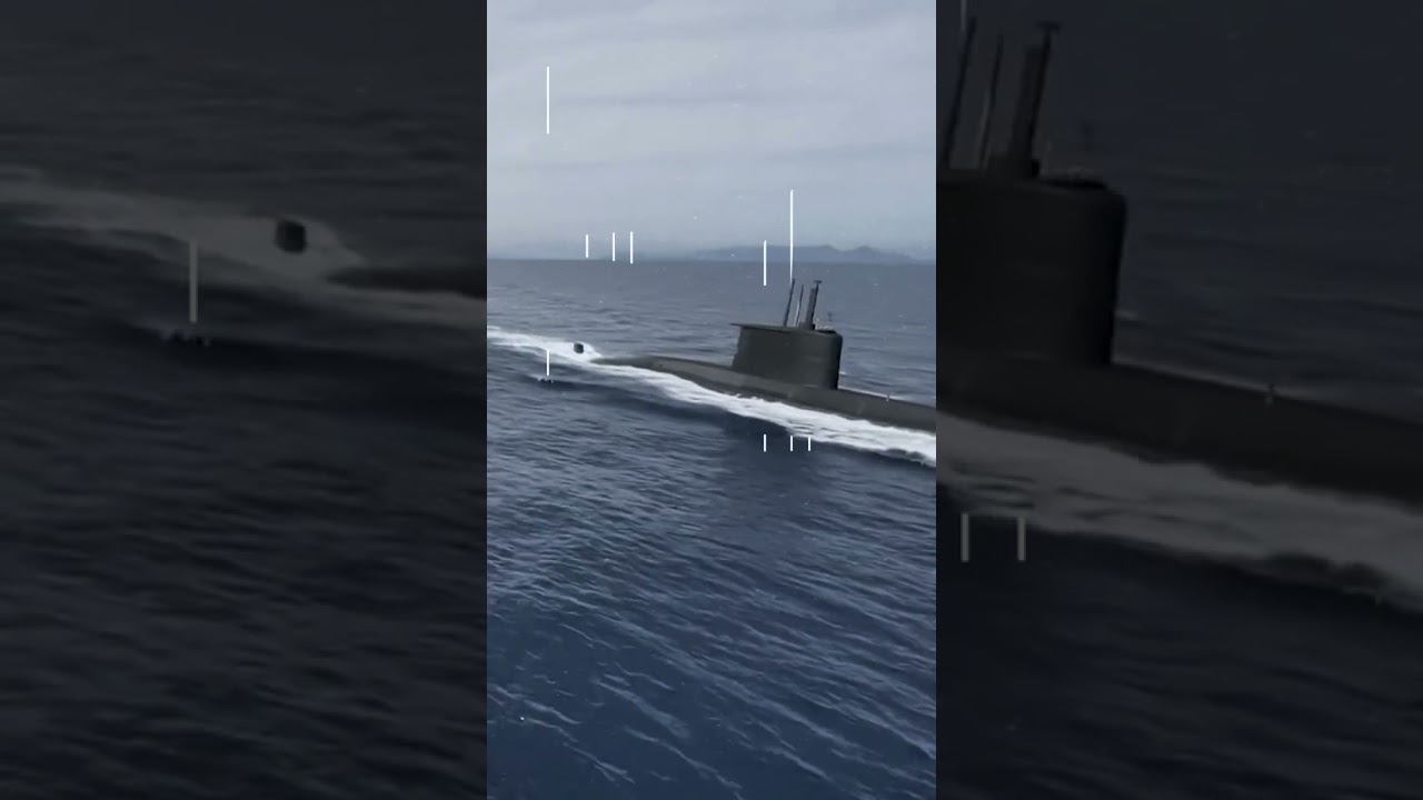
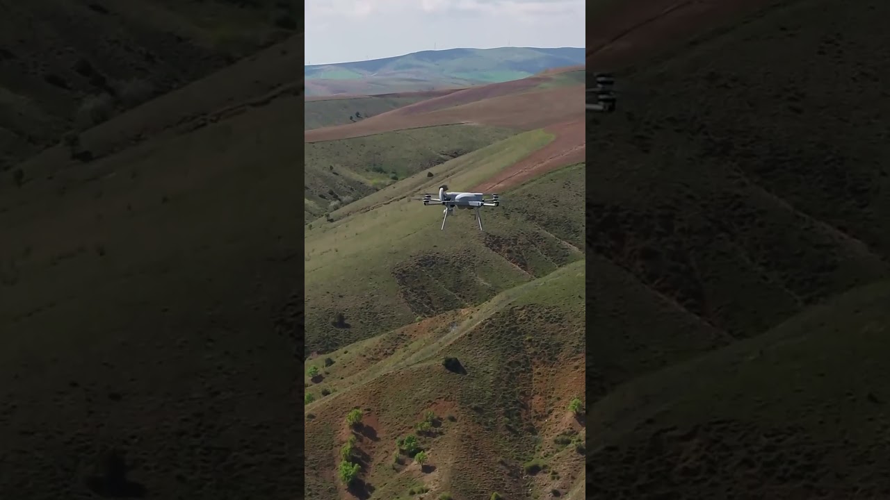
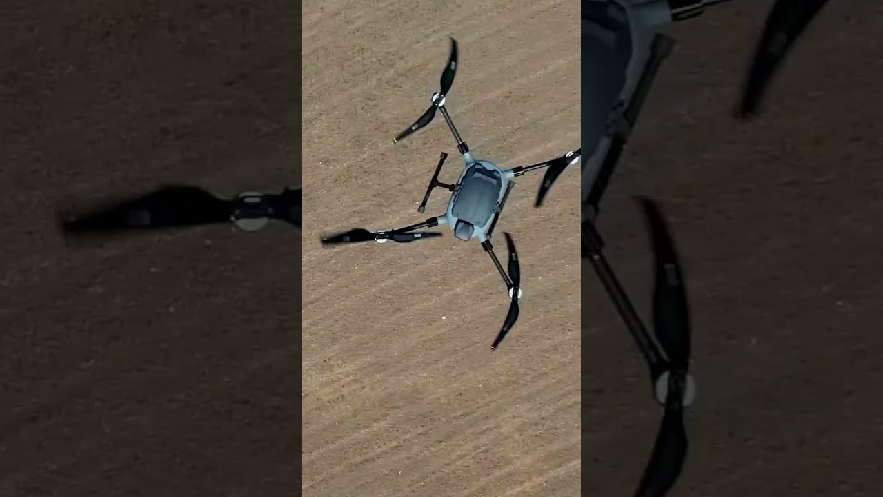
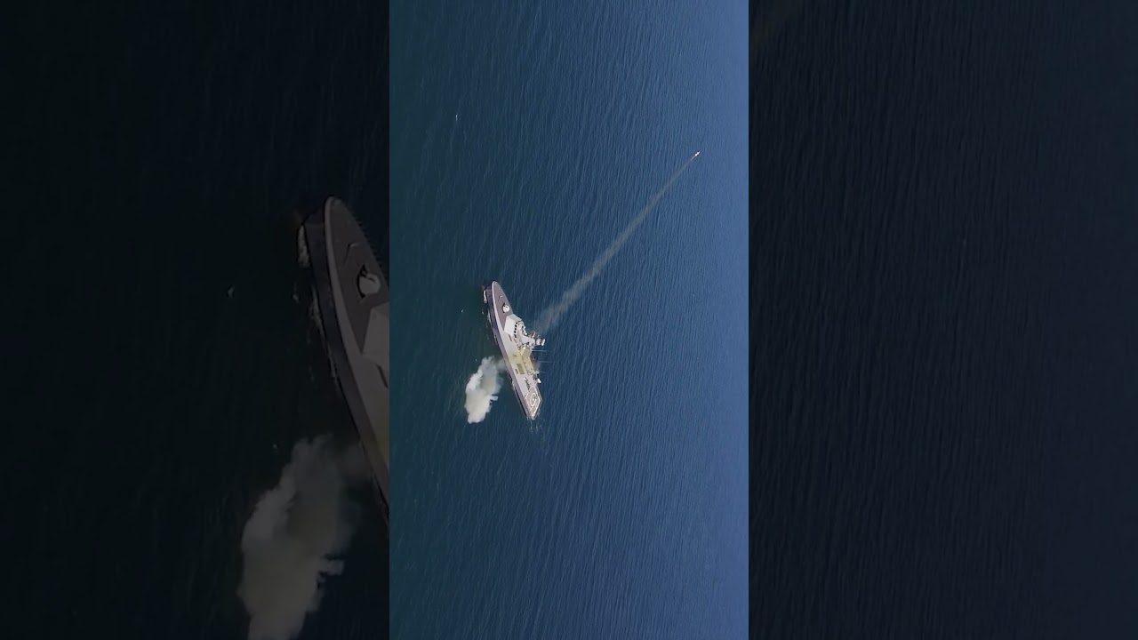
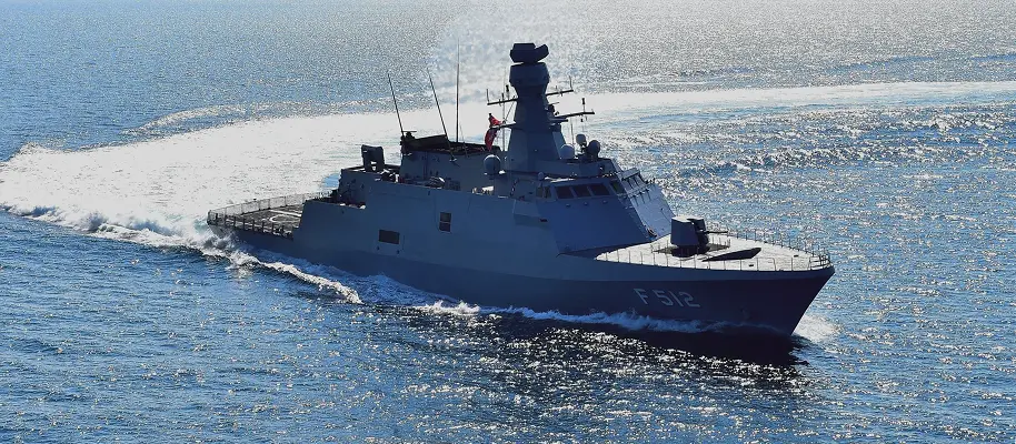
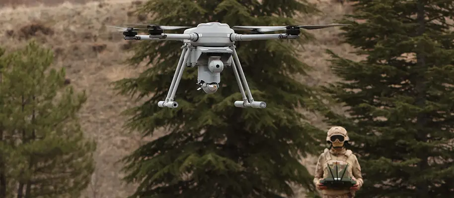
We operate across a broad spectrum, ranging from naval platforms to unmanned systems, from command, control and decision support solutions to cybersecurity and information technologies. With our solutions, all developed through advanced engineering capabilities, we address critical defence needs both in Türkiye and around the world.


Shape the Future of
Technology with Us
We combine our passion for engineering with innovative ideas, working every day to create better solutions. If you aspire to design the technologies of tomorrow, develop advanced engineering solutions, and be at the heart of cutting-edge projects, STM is the place for you.
 03.04.2026STM to Present Advanced Naval Solutions and Tactical UAVs at FIDAE 2026
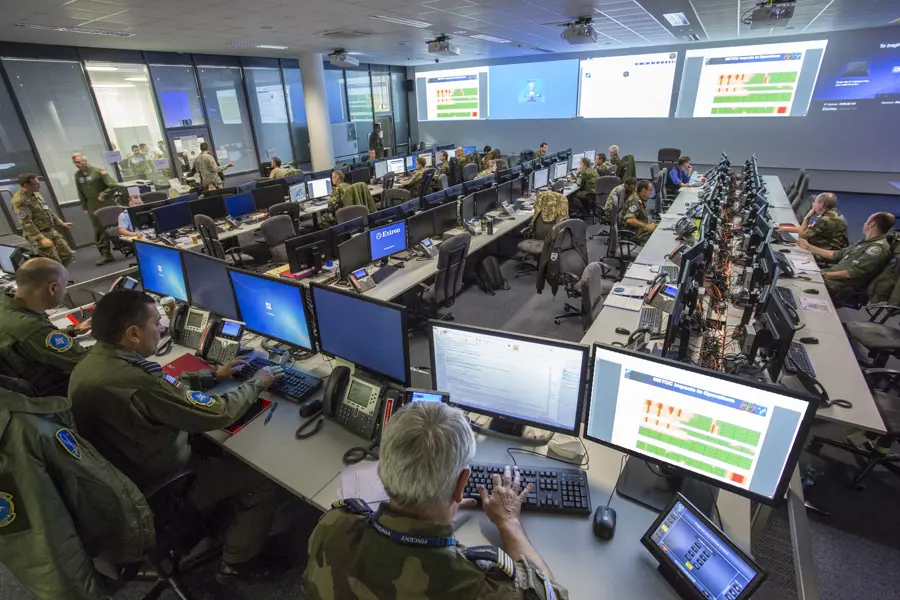 17.03.2026STM Advances NATO’s Command and Control Capabilities
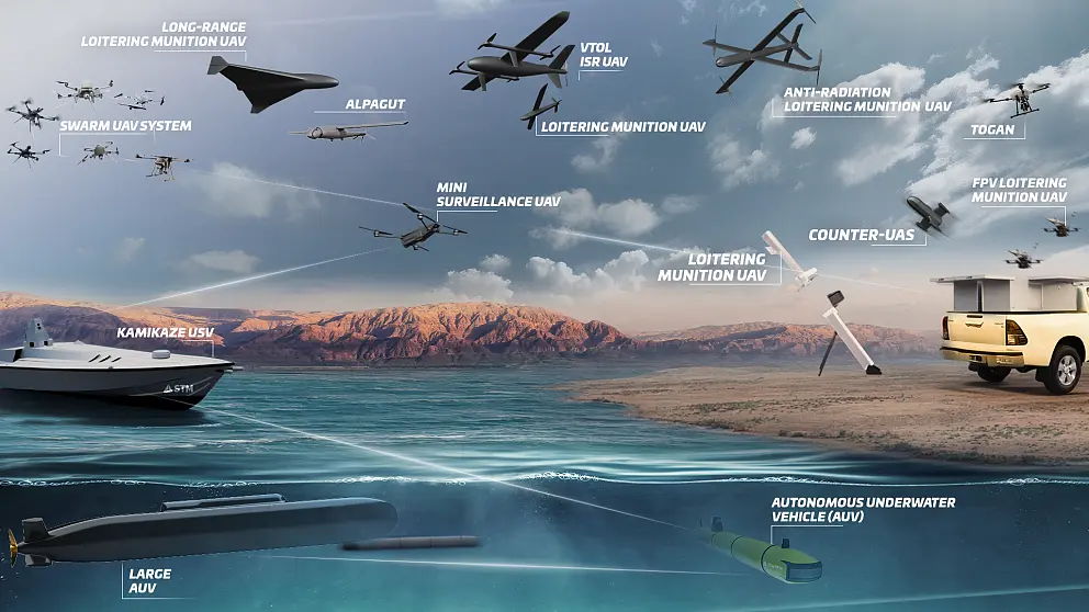 05.03.2026STM Redefines the Boundaries of Unmanned Systems with “Multi-Domain”
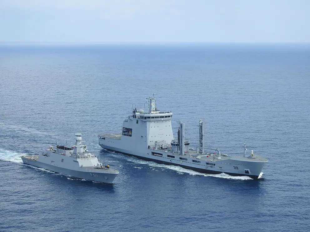 05.02.2026STM to Exhibit Cutting-Edge Naval and Unmanned Technologies at WDS 2026
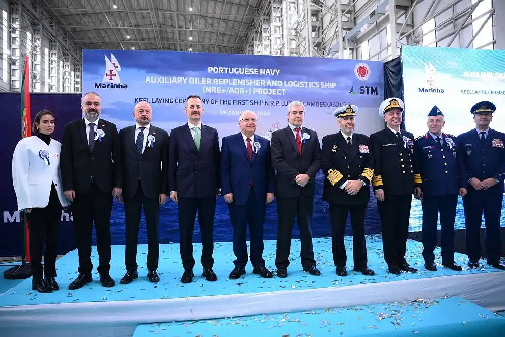 29.01.2026Keel Laying Ceremony Held for Portuguese Logistics Support Ships
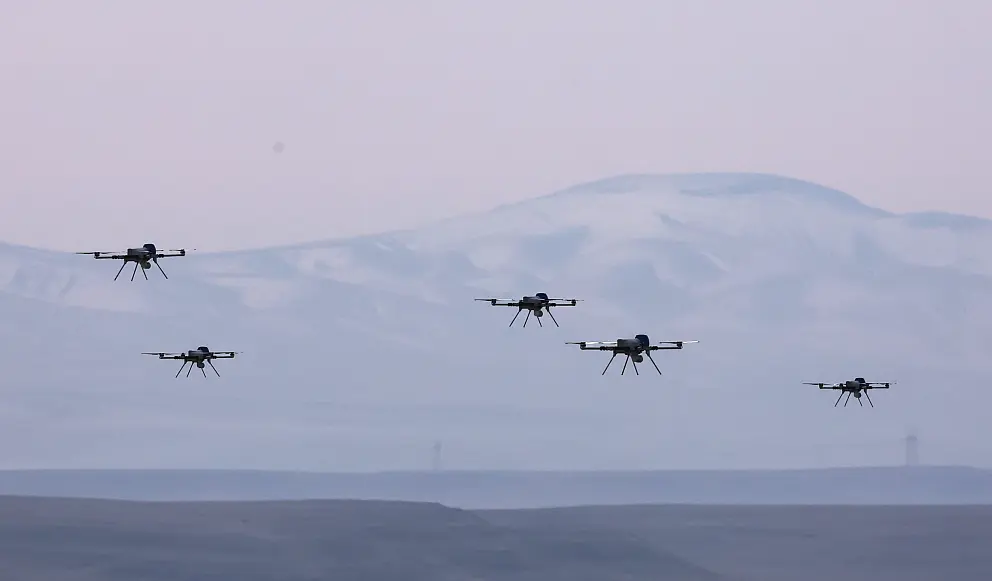 27.01.2026Swarm UAVs Score Direct Hits in Live Ammunition Test
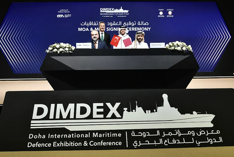 20.01.2026STM–Barzan Cooperation Strengthens Unmanned Systems Capabilities in Qatar
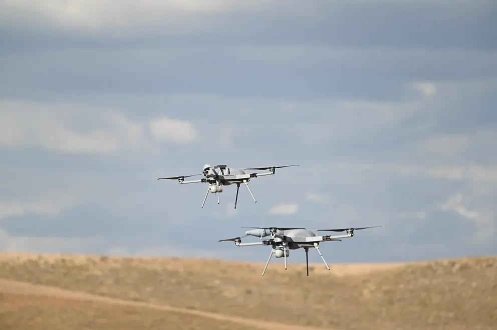 16.01.2026KARGU and ALPAGU Head to Europe
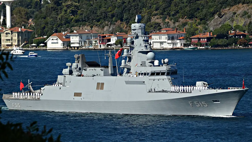 05.01.202611 Shipyards, 44 Naval Platforms
#STMDefence
Follow us on social media for more short videos.