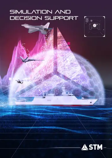
SARGUS
Synthetic Aperture Radar Surveillance Satellite Payload Simulation Development
Synthetic Aperture Radar Satellite Payload Simulation Development Project (SARGUS) has been developed as a simulation tool for SAR satellites in low earth orbit missions. SARGUS software provides two main capabilities related to SAR payload simulation and satellite mission analysis. Furthermore, mission planning for SAR satellite missions,efective training of satellite operators, performance analysis for planned satellite missions and design support for SAR payloads are the primary usage areas of the SARGUS software.
Mainly, the simulation software we have developed has the capabilities to modelling the SAR payload on a hardware basis, to calculate the instant location and speed information of the satellite platform where the payload is, to create the raw SAR data as a sample within the defined scenario (orbit, time, target region, etc.), to obtain SAR images by processing raw data. In addition to the SAR payload, it has the capability to conduct electro-optical mission load analyzes.
![]()
Main Capabilities
| Creating scenario | It is a software with the possibilities to create a new scenario by the user, to reorganize and save the created scenario to be optimized. |
| Creating satellite model | New satellites can be added to the scenarios. It is designed to suit the multi mini satellite concept. If desired, 3D models of satellites can be added and visualised. Visiting times can be calculated on the defined target area for single and multi mini satellite missions. |
| Coverage Analysis and Revisit Time Calculation | Frequency of re-visits of satellites within the target area can be calculated. Groundtrack and potential scanning widths can be shown on 2D and 3D surface models. |
| Ground Station Coverage Calculation | Interactions between satellite and ground station can be calculated. It can be presented to the user in tabular form. |
| Synthetic SAR Image Generation | It can create synthetic raw SAR images of objects defined by the user and process these images. |
| SAR image Processing | It has the capabilities to process raw SAR images created by real satellites and present them to the user. |