Smart Navigation Systems
Satellite-based Global Navigation Satellite Systems (GNSS), which is used as the main navigation system today, is integrated with another common navigation system, Inertial Navigation System (INS), to eliminate its disadvantages.
Today, in order to overcome these problems, new generation navigation systems are being developed by combining various sensors such as cameras, LIDAR, sonars, radars, polarised light detectors with smart algorithms.
Thanks to its innovative and intelligent algorithms, Terrain-Aided Autonomous Navigation System, which we developed for GNSS-denied environments, TerraFlite™ determines the error in the position information obtained from INS by using data measured from different sensors (radar altimeter, barometric altimeter etc.) and calculates the precise location information with higher accuracy.
Existing signals can also be used to overcome the current GNSS-related problems in navigation systems.
Our work has also started on the monitoring of personnel location relative to the control center with sensors and communication devices on them in indoor environments where there are no locating systems, and even for unmanned aerial vehicles (UAVs) entering previously undiscovered or unknown environments to map these environments and advance without hitting obstacles and reporting their status.
"Knowledge of where" can increase our situational awareness when it is displayed as user-friendly on raster and/or vector map in appropriate content.
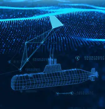
We support planning and analysis tools enhanced with artificial intelligence for manned and / or unmanned platforms operating in land, air, surface and underwater environments, to ensure safe navigation.
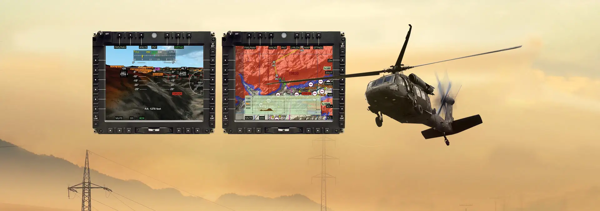
With the advanced analysis tools it provides, STM HETS (Helicopter Obstacle Detection System) can find obstacles that cannot be perceived by humans and give necessary warnings before the danger occurs, such as lands higher than flight altitude in foggy weather conditions or electrical wire located in front of a helicopter but which can be quite difficult to notice by the pilot.
In this way, the user can focus on operational processes.
In this way, operations can be performed automatically with very little user data entry and even without any user intervention. By integrating artificial intelligence into the navigation systems and increasing their basic learning skills, it is possible to develop not only safe navigation but also criteria such as fuel efficiency and reaching the target as soon as possible etc. can be enhanced.
Augmented Reality (AR) stands out as a technology that leverages situational awareness to a higher level in navigation systems. In this context, we have also accelerated our work on AR technology, which enables the display of planned routes, communication points, threat and intelligence demonstrations, as well as automatic analysis results for safe navigation, to the user on real land or sea.
The navigation systems, which we are developing, calculates our precise location independently from GNSS systems, and provide intelligent and automated planning and analysis algorithms powered by artificial intelligence with user-friendly interfaces and augmented reality technology, make it possible for users of land, air and sea platforms to navigate safely and will enable them to focus more on their operations.